#1- TWO HIKES ANYONE CAN MAKE
Pinnacle Trail in Linville Gorge


I can't count the number of times we passed by the Pinnacle Trail. It is the last trail head on the Kistler Memorial Highway, the southernmost trail on the western side of Linville Gorge. It is a short trail, about a quarter of a mile each way. The views are as spectacular as the trails is easy.


To the south the blue horizon of the south mountains seem to melt into the blue sky

To the west the faint blue line of the Black Mountains are part of the horizon.


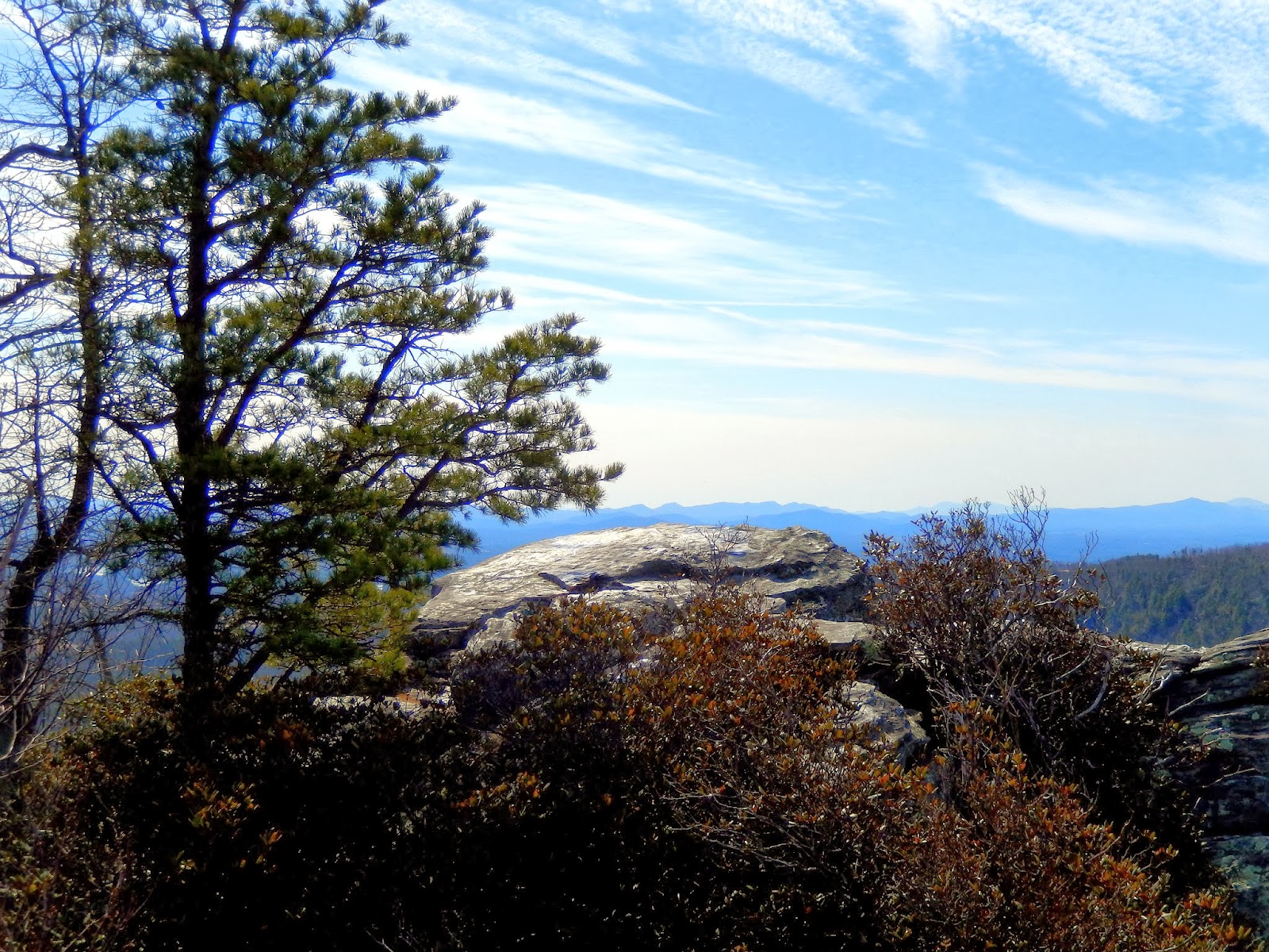
Climbing to the top of the rock promontory, I was provided a 360 degree view of the surrounding countryside.

On the top of the rock, the National Geodetic Survey has placed a marker in the stone indicating the name "Pinnacle".

Looking to the north, a majestic winter view of the peaks of The Chimneys, Table Rock and Hawksbill Mountains. The damage from the recent Table Rock fire is displayed with the various rust colored streaks of fire damaged trees on the face of the mountain.


From several locations on top of the Pinnacle, there were many interesting views of the surrounding countryside.

Before we left we got another nice view of the beautiful Blue Lake in the distance.

And one nice view of the Pinnacle with the sun providing an interesting contrast with the blue late winter sky.


This is a great hike. It is short and not at all strenuous. You can reach the trail head by following Kistler Highway to the southern end of the Gorge.

The trail is a nice 8....too short for a good workout but well maintained....the views are a 9....great 360 degree view of the southern part of the Linville Gorge and surrounding countryside... Access is an 8....long drive up Kistler Highway from either end but not hard to find when you get there....Overall a solid 8...No excuses if you want to hike Linville Gorge this is a hike anyone can make!
The other hike anyone can make is Tanawha Trail to Wilson Creek Falls....ck out that blog entry too! http://fbwg-hiking.blogspot.com/2014/02/two-hikes-anyone-can-make-tanawha-trial.html
If I'm coming from Morganton, how far up the Kistler Memorial Highway do I drive before reaching the trailhead?
ReplyDeleteck your map....if you come from the Lake James area....it is the first trail head....if you come from Linville Falls,NC it is the last one....from Morganton you turn at Freedom High and Kistler intersection in on the right after you cross the Linville River bridge.....FBWG
ReplyDelete