ACADIA NATIONAL PARK

One of the nation's most iconic parks is nestled along the Maine coast near the village of Bar Harbor. It is a place of rocky mountain peaks and rugged coast line. We got to spend a day there in July...an can't wait to return. .jfif)

Located on Mt. Desert Island, the park offers many oppotunities to hike, boat, photograph, and meditate on the wonders of God's creation. We only booked a day and half to explore Bar Harbor and Acadia. You really need to spend a week there! We were greeted by a spectacular sunset at Bar Harbor!


The only plans we made for our visit was to reserve entry to Cadillac Mountain at sunrise...but we were only able to get a 6:30 AM time...no problem...the mountain was fogged in and we just got an extra hour to sleep!

Ole Sol did not disappoint and about 6:45 broke through and greeted us with the same beauty as we saw the night before. Cadillac Mountain is the tallest mountain on the Atlantic coastline. At 1506 feet it is a small peak that is accessible by a winding paved road. At the peak is a gift shop and many rock paved trails. Visitors are permitted to venture off the trail as long as they traverse over the rocky slopes. The vista is of a spectacular seascape...even fogged in, it is specatacular!

This is a very social mountain...we visited mid week and even with regulated times there is an abundance of tourists. Get an early time to avoid the crowd and hope the fog lifts... during our visit it was mid afternoon by the time the fog lifted. Next time we visit we will take an afternoon time.


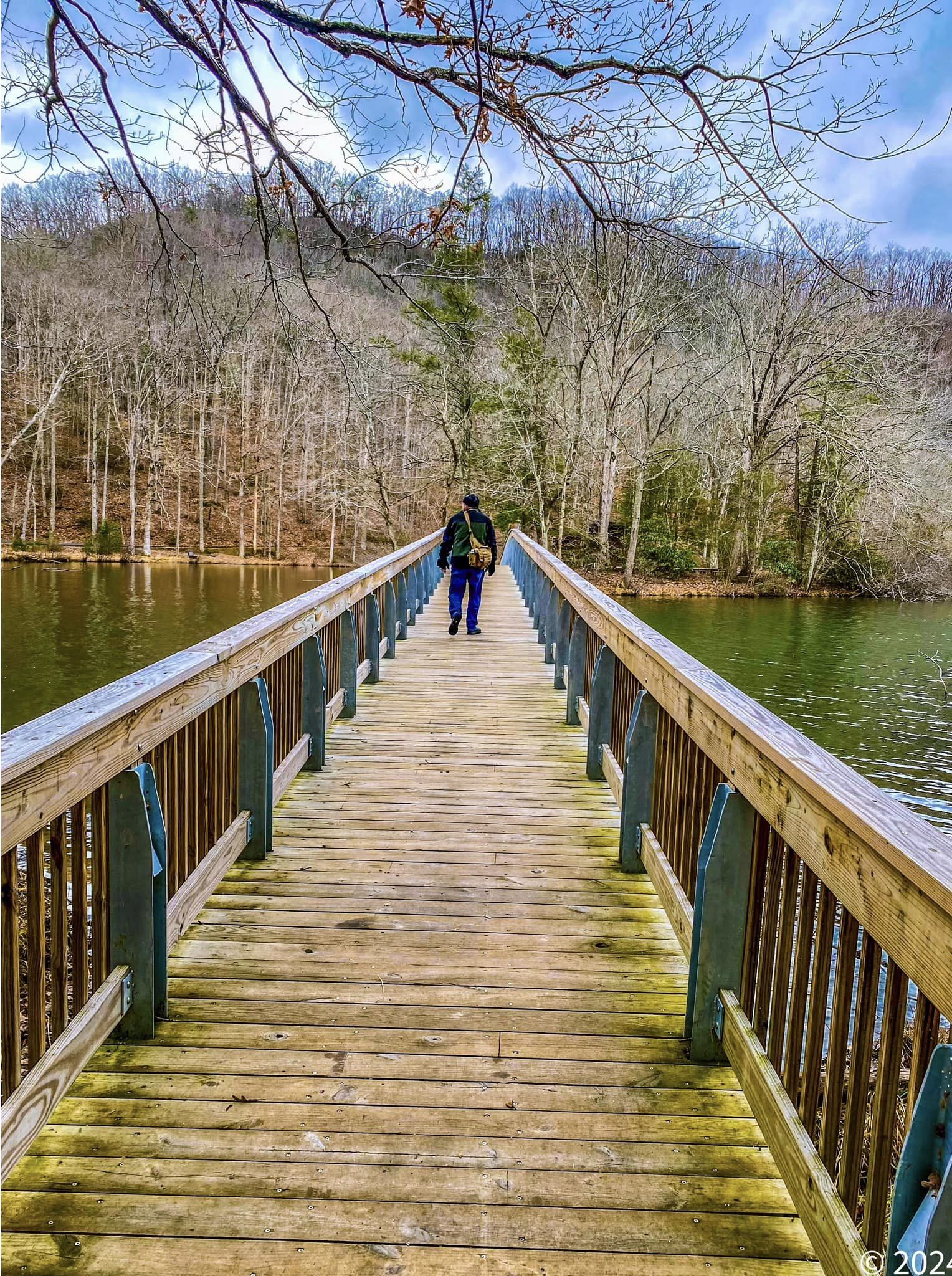
There are many such lakes in the park. Most have hiking paths around them. We visited Jordan Lake as well but it was completely fogged in.

Sand Beach is a popular swimming hole.

It is a cove surrounded by small cliffs running from each end of the beach. Small breakwater provides a cool swim for the eager beachcomers. I was more interested in taking pictures and the best one right behind me. You see the "Beehive" mountain overlooks Sand Beach. It is a popular climbing destination as I counted over 20 hikers on its slopes. But I captured its reflection in a tidal pool. Gonna climb that mountain next time I go to Acadia!

Leaving Sand Beach we hiked up the seacoast trail toward Thunder Hole. Along the way there were many spur trails each with an enticing view of the seacoast.


The trail is adorned with summer flowers. We were there between low and high tides at a time when there was calm seas and following winds. The path to Thunder Hole was covered with people...everyone trying to get a glimpse of the seacoast. It was hard to find many serene places to "Play and Pray". Nevertheless, the glimpses were enough to"heal"the soul.


Another bucket list moment for me as if we could have stayed another day I would have hitched a ride on this boat!


The views off Bar Harbor as just as beautiful as those along the coast of Acadia. We took time to enjoy a walk along the coast line as well as along the streets of this charming village.


.jpg)


.jpg)


.jpg)
.jpg)


