BOONE FORK TRAIL at Julian Price Park

 Julian Price Park is a wonderful 4200 acre park on the Blue Ridge Parkway (MP-297) near Blowing Rock, North Carolina. In my youth it was one of my favorite destinations as I traveled with my parents in their Airstream Travel Trailer. The park has a great campground that adjoins an 47 acre lake. While I had played in every nook and cranny of the campground, and had taken hikes around the lake, today was the first day I hiked the Boone Fork Trail.
 The Trail is a five mile loop which originates in the Julian Price Park picnic area. It is not named after Dan'l Boone but it is name for his uncle and generally follows the Bee Tree Creek and the Fork River. We decided to hike the loop clockwise and found it to be a good choice. Someone reviewing the trail said that hiking the loop in this manner made the hike seem like a symphony....it begins slowly and ends with a crescendo....this hike is one of the most enjoyable hikes we have experienced.

The first mile of the hike takes you parallel to the Parkway and through the Price Park campground and as we emerged from the forest I was surprised to see "wild turkeys". Then upon closer inspection we found them to be the cardboard joke of some campers who were enjoying the reaction of hikers. This is exactly the type of thing that my dad and his best friend, Buddy Morrow would have done. The trip through the campground brought back a lot of memories...the smell of campfire....the familiar campsites....and the old stone water fountains reminded me of many good times.
See if you think these deer are real, as we found them near the "turkeys"?

 Turns out the deer were very real and were so used to people that we got some nice photos of them as they were feeding in the woods near the trail. The trail leaves the campground and joins the Mountain to Sea Trail as it intersects with the Tanawha Trail. The orange blazed Boone Fork Trail is easy to follow and at the 1.5 mile mark emerges in to a wonderful mountain meadow.

Even though it was past peak blossom time, we found the meadow covered with wildflowers and butterflies....and this one pink mountain laurel. From the meadow you descend into a mountain forest and soon hear the gentle roar of a Bee Tree Creek. The trail is covered with a canopy of rhododendron and large oaks interspersed with silver birch....and birds that provide some of nature's best background music.


We soon came upon a trail cairn and is my custom I added my stones with my prayers of thanksgiving....after all we were worshiping in one of God's greatest cathedrals today!
"But ask the animals, or the birds of the air, and they will tell you; or speak to the earth, or let the fish of the sea inform you. Which of these does not know that the hand of the Lord has done this?" Job 12:7-9


The trail runs with Bee Tree Creek as it meanders down the mountain toward Fork River. Along the way we got to play in the creek, ford a few streams and see some nice small waterfalls.


Some of the best mountain creek scenes caused the FBWG to pause time and again to pull out the camera and try to capture the majesty of what we were seeing....and as good as these photographs are...it is just not close to as good as the real thing.
This video gives you a taste of what Bee Tree Creek sounds like as it roars through the mountain forest


Hiking the trail in this manner had us going down Bee Tree Creek and up Fork River... and over every ridge there was a new waterfall to scamper down to view.

As we traveled up the river, the river began to calm and we were presented with many swimming holes and we knew we were getting toward the end of the hike as the trail got more crowded as some of the picnic crowd had made their way to down the river for a swim.
 Along the way we were treated to a wonderful display of late blooming rhododendron...what I like to call "Summer Whites"

 I really want to take this hike again when the Rhodies are in full bloom...the creek basin and the trail must be a spectacular display of color at peak blossom time.
With about a mile to go we rested our dawgs at a nice riverside beach. If there had not been so many picnic folks walking through the FBWG may have been tempted to christen another river falls as "cotton tail" (for new readers go read Spence Ridge blog entry).

This beach was across from an very interesting rock island which boasted a tree growing from the middle of the rocks. As we rested here a family arrived and waded to the island only to discover our friend Nicky No Neck lounging in the sun....glad I did not take a swim!

As the trail got closer to the picnic area we caught occasional whiffs of some charcoal cooked hamburgers.....and we captured one of the best pictures of the day.

 The Boone Fork Trail is one of the best trails the FBWG has hiked....it has good length and enough elevation to get the thumper thumping....but it is one of the most continuously interesting hikes we have taken. From the woodland trail...to the mountain meadow...the wild flowers....the creeks....the waterfalls....this trail has everything but a spectacular high mountain vista. Access is a 9....right off the Parkway between Boone and Blowing Rock.... Trails are an 8...well marked but can become a muddy bog during wet days....scenery 9....lots of great places to enjoy your day.....Overall 9...this is a hike anyone can take...
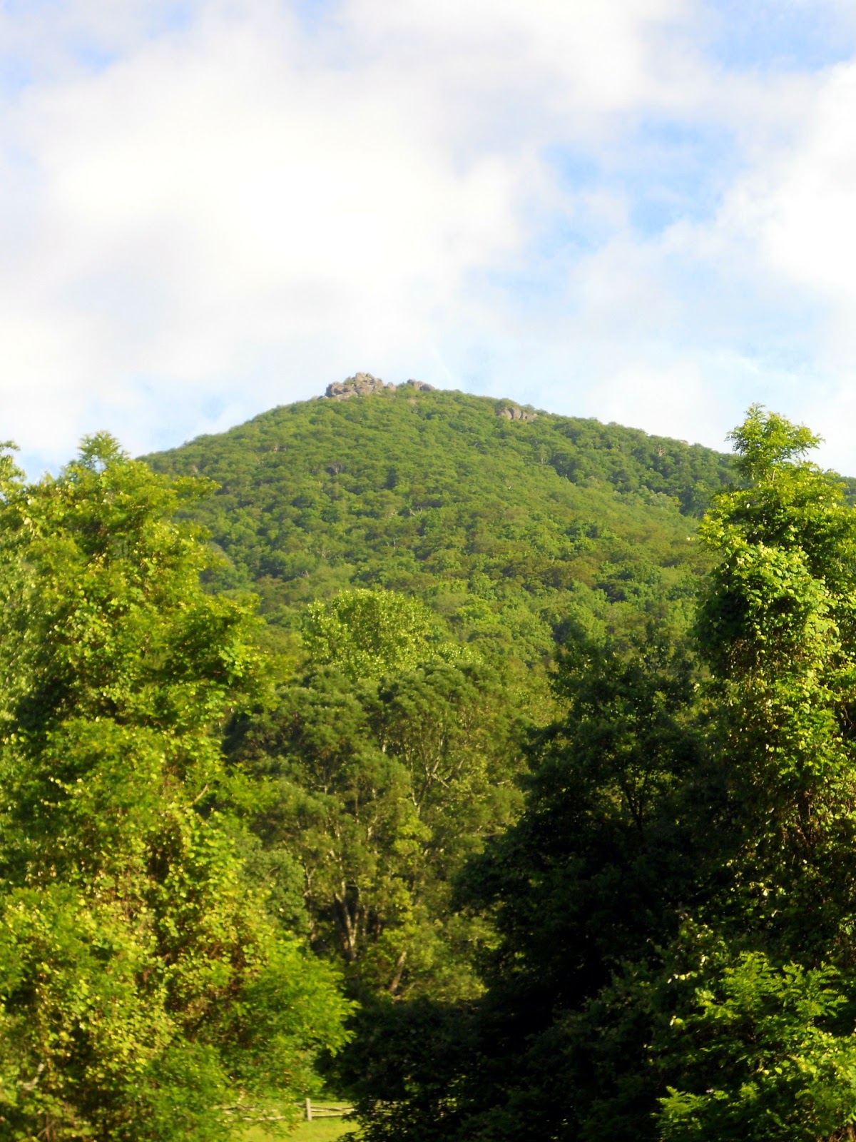
Oh by the way.... I could not help but take a nostalgic ride through the Price Park Campground....and stop at the Price Lake overlook to take a stunning picture of the lake with Grandfather Mountain as a back drop.