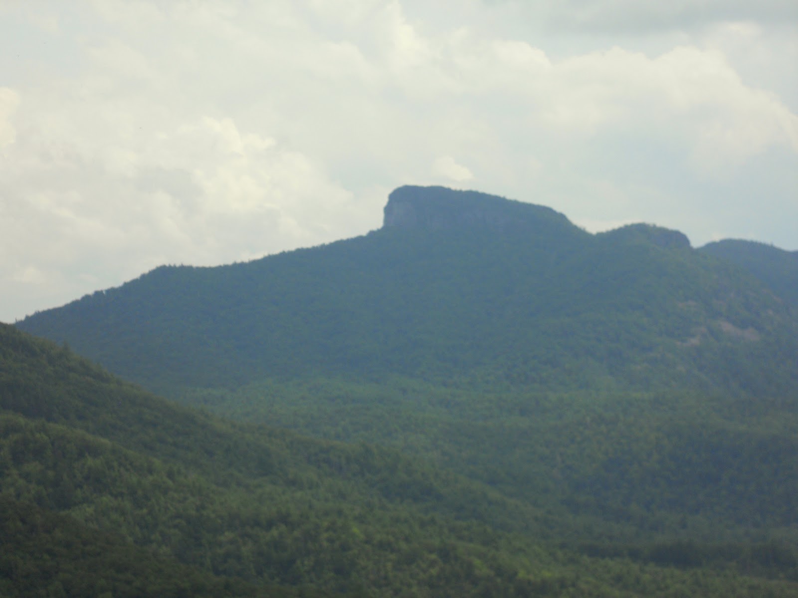
SPENCE RIDGE
CATHEDRAL FALLS
on the Linville River
 |
| The Bridge at House Rock over the Linville River (I told this young fellow I would make him famous by posting his pic on Hiking with the Fat Bald White Guy) |
All summer long we had hoped to make our first hike into the Linville Gorge....over ten weeks of hiking, we got into better shape...and learned a thing or two about navigating on the unmarked trails of the Linville Wilderness Area. Today we took the Spence Ridge trail to the river.....our destination .... Cathedral Falls....

 Spence Ridge is accessed off NC Forest Service Rd 210. It is located between Hawksbill and Table Rock and is supposed to be the easiest access point to the Linville River. The trail starts out easy enough. It is wide and smooth, a well traveled logging road rising briefly from the parking area to an elevation of 2928 feet before it travels downhill to the intersection with Little Table Rock trail....making a five o'clock turn, it turns into a pleasant down hill walk through the forest to the river.
The trail is only a mile and a half from the trail head to the bridge at House Rock, a nearly 900 foot descent to the river.

The trail generally follows a spring fed creek and is pretty rocky in spots but offers some nice forest views that accompany the roar of the creek as it flows to the river.

Along the way we spy some of the amazing examples of God's handiwork. One stump, though dead for years had become the site of the new growth of many variety of plants. Being that it was Sunday, it reminded me of a Bible Verse. "And I walked and He who was on the throne said to me: 'Behold I make all things new'" Rev. 21:5

Soon the roar of the creek was replaced by the roar of the river....then above the roar we heard the happy voices of boys playing in the water. As we arrived at the bridge, a Boy Scout group was swimming in the river.

The bridge is really two bridges with House Rock in the middle. It is the only man-made structure in the Gorge and once you cross the bridge, Spence Ridge Trail ends. The Linville Gorge Trail (LGT) parallels the river on the western bank.

The LGT is a narrow and rocky path that follows the ridge line above the river. It is often a 100 feet or more from the river side and the summer growth often obscures the views but occasionally you get nice glimpses of the river and the surrounding scenery.

In addition to mountain views there are some interesting views of the river and rock formations as well.


This one rock looks like
a giant's eating table.
Our destination was Cathedral Falls... the Linville Master Map downloaded on my Garmin said that the falls were 1.7 miles from the Spence Ridge Trail Head...when we arrived at this point we could not see Cathedral Falls but we did see a 20 something group of lads and bikini clad lasses playing in the river...hoping that the falls were ahead we trudged on. (turns out these folks were camped at Cathedral falls...more on that later)

The LGT is not a well traveled path and as we passed the happy campers we soon found ourselves scrambling over boulders and around downed trees. And my hiking companion began to question my trail research as I told her that the falls were just on the other side of this downed tree.....(yeah sure! esp since we know now we had passed the falls about a quarter of a mile up the trail)

You see there is a dispute over what is the real "Cathedral Falls"...the Hiking Rats of the Gorge described the falls as a flowing into the river from the eastern bank while kayak folks say it is in the river...one blogger looking to clear up the confusion described the very place I spied below the LGT...only 125 feet below...."are you sure!?"asked my hiking companion. "Have I ever led you wrong?", I replied as a bounded down the river bank along a path of sorts....often sliding more than walking....and being the good sport she is, she followed along.

Well it was a little steep and there really wasn't much of a path...but we made it...and what we discovered was the "kayak" Cathedral Falls and the very best swimming hole in the entire state of North Carolina!

It had a nice rock beach and several nice rocks to take in the warm sun....and of course the falls.....

A previous hiker had built a cairn... a Cherokee altar This is something we have seen before....so as I added our stones to the cairn, I silently thanked the good Lord above for the beauty and majesty of all that surrounded us....this is one amazing place!

 The falls pour into a deep pool....and there is a large pond sized area....rocks to jump from....and cool....no cold river water.... if this place was not so hard to get to, there would be many folks there to share the pool with us...but as it was we were the only folks at the swimming hole on this Sunday afternoon!
Looking down river you can see why there is such a large pond....these rocks provide a nice dam to calm the rushing river

The eastern bank of the Linville River from the Spence Ridge bridge on past the Swimming Hole are steep rock walls, easily a couple of hundred feet tall!

The scenery was stunning....the sun was warm.... and while my hiking companion was catching some rays....how could I resist this Swimmin' Hole!


The water was cool....no COLD! but boy was it fun to take a swim in a mountain river on a hot Sunday in August! It really does not get any better than this!

All good things have to come to an end....and we still have not seen the other Cathedral Falls... after climbing out of the Swimming Hole and trudging back toward the Spence Ridge Trail along the LGT, we discovered that the young folks had packed up and left....leaving a smoldering fire! As I was trying to find a trail to go down to the camp site to tend to the fire, my hiking companion exclaimed...."I bet that is Cathedral Falls!" Well what do you know, as I was too interested in the bikini clad lasses I missed the falls on the way in! It was right where the Linville Gorge map said it was! Imagine that?! So I scrambled down to the riverside to get a better look.

Plunging off a cliff from the eastern bank of the Linville River....the real Cathedral Falls is at least three stories tall. Pictures cannot describe the majesty of this scene!

From the riverside across from Cathedral Falls you can look upriver and see the Spence Ridge Trail Bridge....not two hundred yards away.... If you come to see Cathedral Falls remember that you cannot see the falls from LGT in the summer and must use the riverside campsite as a mark...it is 1.7 miles from the trail head but the river at this point is at least 100 feet below the LGT!

Hiking out we got to spend some time on House Rock.....and see some nice trail-side flowers

This is really a neat bridge!

From House Rock you can see the riverside beach across from Cathedral Falls...it really is not very far away...
 |
| Looking upstream from House Rock |
Proving once again that if you just pause to look around you will see some of the most unusual accidents of nature.... ever seen a tree grow upside down?


Hiking out proved to be a tough ascent...from Swimmin Hole beach to the trail head was a total elevation change of nearly 950 feet....800 feet to be gained in the mile from the bridge...


We did not notice on the walk in how steep the trail was but we felt it on the way out....especially after the scrambles down and back to the Swimmin Hole and to Cat Falls.... a relatively easy hike out was a bit more challenging. It was a wonderful 5.5 mile hike and we got to experience some of the best that the Linville Gorge has to offer....
So....what can we do about the confusion over the "two" Cathedral Falls....well first there is only one Cathedral Falls...the three story one flowing off the cliffs of the eastern banks of the Linville River.....so what can we call the falls at the Swimmin' Hole?

I don't know what others will call these falls in the future....but as for me....I am going to call them......Cotton Tail Falls....why you may ask? I will let you figure that one out!

So how to I rate this hike....it was one of the best of the season for sure... finding the Swimmin' Hole was a special treat....Access is a 10... the trail is an 8 (too much scrambling) and the scenery is a 9.....overall FBWG grade = 9