FROZEN FALLS OF LINVILLE GORGE

During the first week of 2018, the temperature in the Linville Gorge rarely rose above 20 degrees. In a week's time, the Linville River froze to the point that the Linville Falls became a frozen white column of ice. Hearing that this is the first time in over 30 years that the falls had frozen, Easy Jake and the Fat Bald White Guy set off to hike the falls

 My Faithful Hiking Companion and I hiked the Linville Falls twice. The first time was June of 2012 when we visited the Upper Falls, Chimney View and Erwin view on the western side of the Gorge. June 2012 hike In the winter of 2013, we hiked Plunge Basin starting at the visitor center accessed off the Blue Ridge Parkway. It was 27 degrees that day but the river was far from frozen. Plunge Basin It was a mere 19 degrees when Easy Jake and I started our hike in January of 2018. The Parkway was closed so we parked on the western side off Kistler Highway near the village of Linville Falls. We soon discovered that the Linville River was frozen.


Hiking about a half mile from the parking lot, we arrived at the trail to the Upper Falls overlook. There we got our first glimpse of the frozen falls of Linville Gorge. The Linville Falls are two distinct cascades. The Upper Falls are twin cascades. Both were nearly frozen completely.

 The roar of the water that was rushing through the narrow unfrozen channel echoed throughout the woods. A close up of one of the cascades is a beautifully crafted ice sculpture. The cold rushing water struggled to push through the ice flow forming a small ice-less pool at the base of the cascade.
 The Linville River pauses at the foot of the Upper Cascades forming a large pool. The river is forced at this point into a narrow channel that flows around the overlook. Here the river again freezes. The river at this point is reduced to a large pipe size flow of rushing water slowed but not deterred by large blocks of ice. The tubular flow of the river is forced around the rocks of the Lower Cascade.
The narrow crevices at the top of the Lower Cascade blast the water out the other side like an enormous fire hose nozzle. We would have to wait to see the full fury of the Lower Cascade. One has to hike down the Plunge Basin Trail to get the best view of one of the best waterfalls on the east coast.

 Leaving the Upper Cascade overlook, we proceeded down the riverside trail to the visitors' center about a mile away. The trail followed the Linville River upstream. Along the way we paused to take in the majestic scenery of this frozen waterway.
From the beach along the river, we could not help looking back to see the river flowing into the Upper Falls cascades.

Ice completely encased the large granite rock in the middle of the river. It really looks like the rock is being squeezed by the ice flow.

 About a mile down a wide graveled trail we arrived at the bridge at the visitors' center and crossed to the eastern side of the river. The Plunge Basin trailhead is adjacent to the visitors' center on the parking lot side of the building. As we crossed the bridge we got another look at the ice-covered flow. Crossing the bridge you could feel the temperature lower as you stood over the ice. The visitors' center is a great place to rest your dawgs, but we only paused to speak to another hiker before we set off up the Plunge Basin trail.
 The Plunge Basin Trail is a typical mountain trail. It is a bit wider and more worn than other trails in the Gorge but is a far cry from the pedestrian gravel trail that leads from the visitors' center along the western side of the river. About a third of a mile the uphill slog crests and the trail forks. Taking the right fork takes you to the Plunge Basin Overlook. The left fork takes you to the river.
We visited the overlook first and found a crowd of folks taking in the view. But there is a good reason for this. It may be the best view of the Lower Cascade. We waited our turn and took a few stunning photographs.


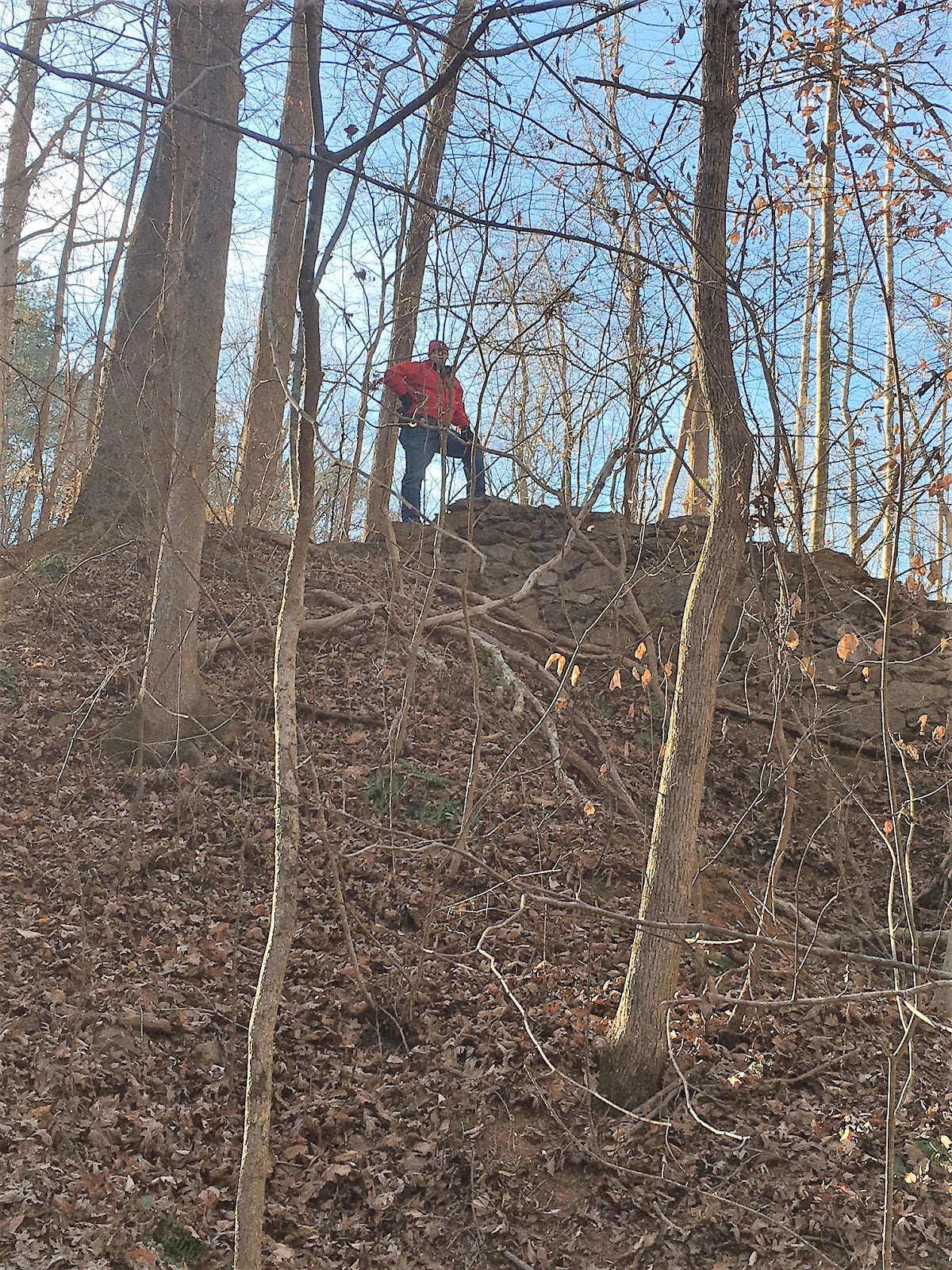
Leaving the overlook we trudged up to the Gorge fork and proceeded down the trail to the river. The trail is well marked and maintained and has a nice set of steps (I know I hate steps but this is the exception) to help you navigate the steep drop off the rock wall that forms the eastern side of Plunge Basin. Easy Jake posed next to the rock wall to illustrate just how large it is.


Not far from the rock wall, the trail descends to the river bank and the first glimpses of the frozen river can be seen. When we emerged from the trees onto the river, we found it nearly completely frozen over. The temperature reminded us of stepping into a meat locker. It was easily ten degrees cooler in the gorge. We could hear the roar of the Lower Cascade and soon was able to get our first glimpse of a truly surreal sight. I thought I had traveled to Narnia.


We took our time on the rock and took many photographs of the Lower Cascade and the Plunge Basin.


 We left the Plunge Basin. We had hiked 2.5 miles and decided to take in the Chimney View Overlook which is on the western side of the Gorge about a third of a mile south of the Upper Cascade Overlook. The trek out is a steep slog but because the trail is just a mile long the steep part of the trail is only about a third of a mile. Before we left, we took one last look at the Lower Cascade.


The trail above the Upper Cascade Overlook spur trail is deceptively steep. It is a wide pedestrian trail that leads to the top of some steep stairs that leads to one of the more scenic overlooks in the Gorge. From a distance, we could see the ice-covered Upper and Lower Cascades. Some of the best pictures of the day were taken there. We were glad we saved this overlook for last as we could see the Upper Cascade Overlook, the Plunge Basin Overlook and the river rock where we stood taking in Plunge Basin alongside the river.


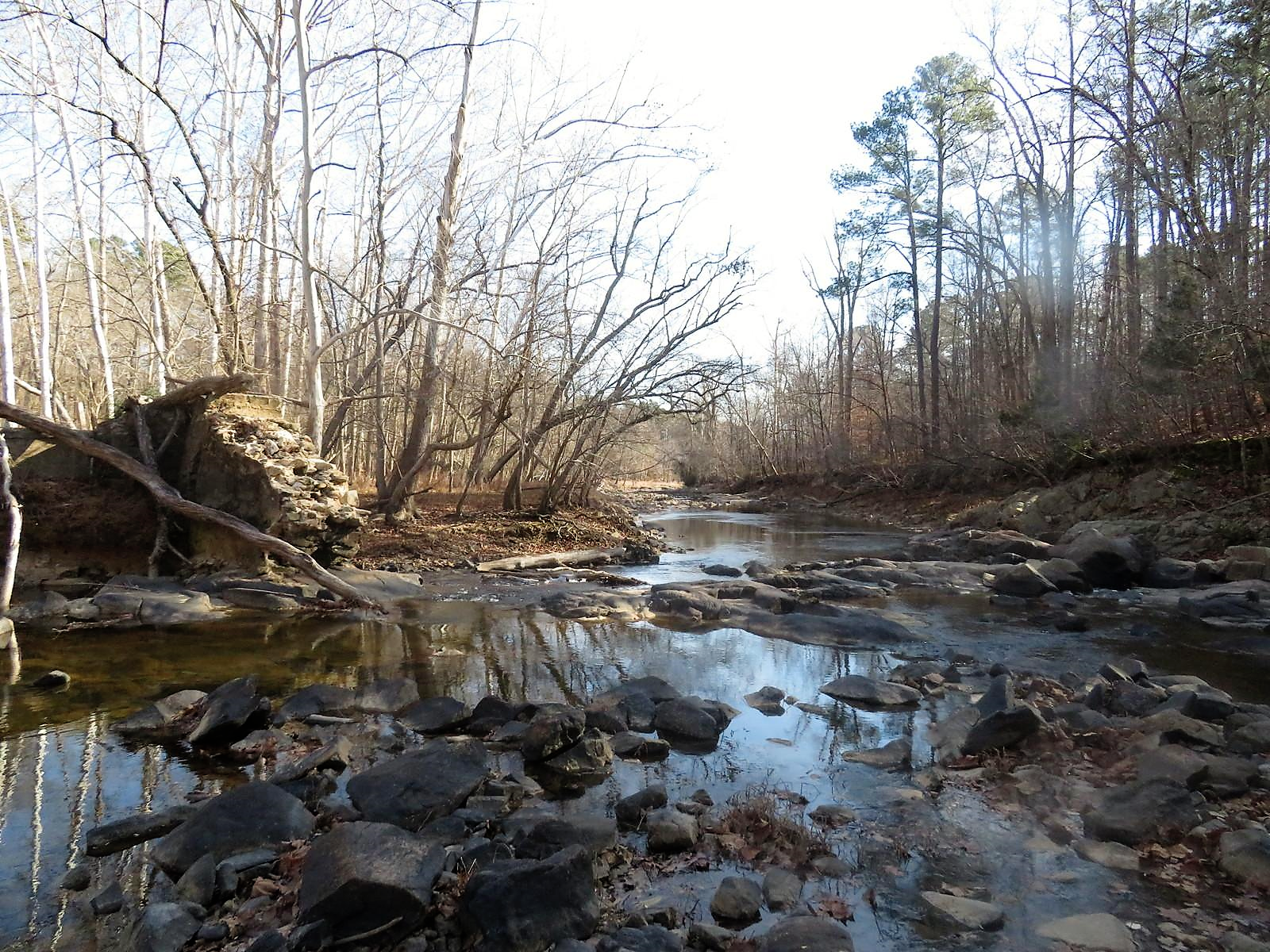
We also got a great view of the Linville River flowing downstream from the falls.


 What can you say about a five-mile hike in 20-degree weather? The access was a 9....the trails were well marked and easily traveled...9... the scenery was a 10+....understand this may be a once in a lifetime scene....Effort to View ratio was perfect...on this day...this was a 10 rated hike...

"Everyone needs beauty as well as bread, places to play in and to pray in where Nature may heal and cheer and give strength to the body and soul alike."- John Muir


